-
Rafting Directions
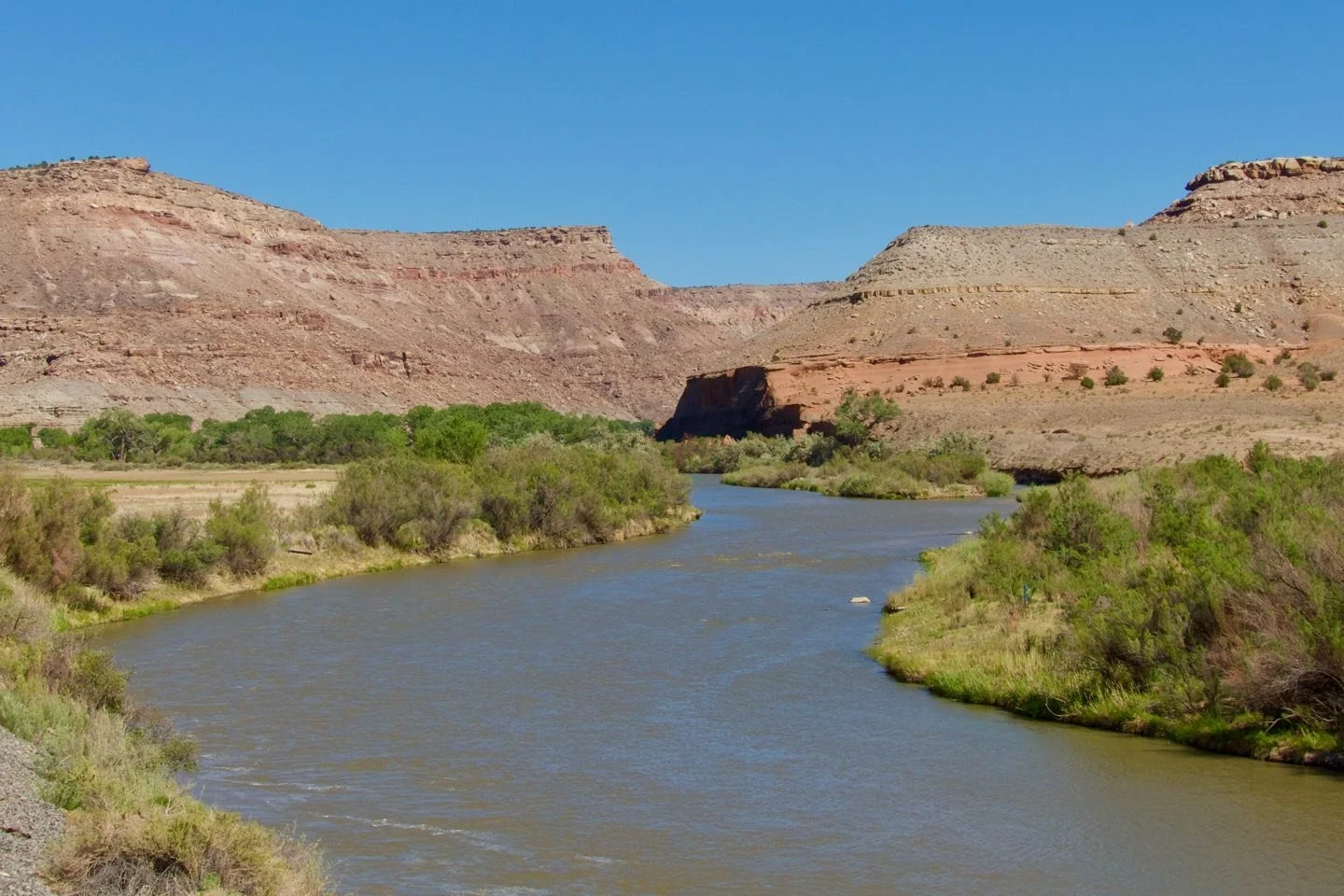
Click on the link below for a map providing directions to the launch site on the Gunnison River.
-
Driving Directions
The first is to drive down highway 50 until you get to Dominguez canyon road. You then follow this road 3 miles into the valley until you arrive at the farm gate. Drive through the gate, past the young orchard, across the railroad tracks, and then down the road to the left. Continue down this road until you reach the parking area along the railroad tracks. If you need to unload at the river access point before parking, continue straight past the parking area until you come to the end of the road. The river access point will be on your right. Unload and then return to the parking area
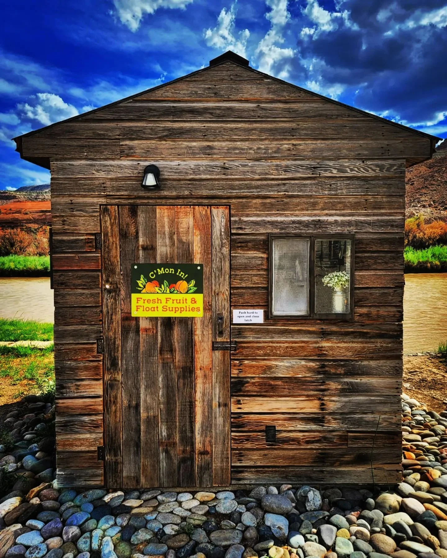
Alternatively, you can access the farm directly from the river! The orchard take-out is 1.5-2 hours from the Escalante put in and 3 hours from the Bridgeport take out. Look for our sign to the left of the river.